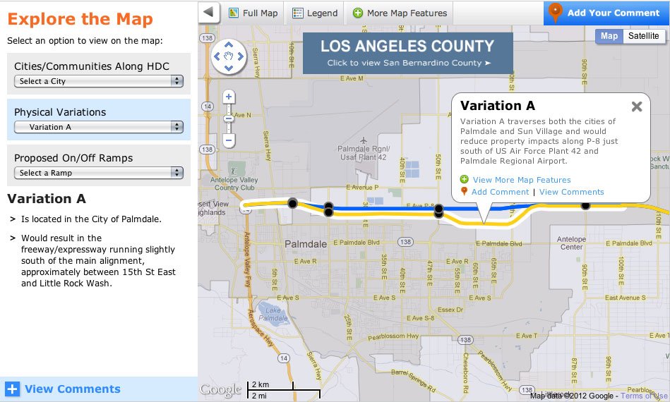
Via The Source, Metro has released a new-fangled interactive map for its High Desert Corridor freeway project–it has all the latest crowdsourcing capabilities and even allows users to blast their comments on the project to social media sites. The map also has layers that show users all the juicy planning details, like route variations and information on the cities the route will pass through. For instance: “The City of Victorville is the only city where the HDC Alternatives would cross two highways, the US-395 and I-15.” The High Desert Corridor project is a “63-mile, east-west freeway/expressway linking State Route (SR)-14 in Los Angeles County with SR-18 in San Bernardino County” (roughly Palmdale to Apple Valley). It could create a “three to six fold increase in traffic” in the areas it will serve, according to Metro.
via Everything You Need to Know About the High Desert Freeway – Cool Map Thing – Curbed LA.
